 GeoSpaX
Maps that style themselves
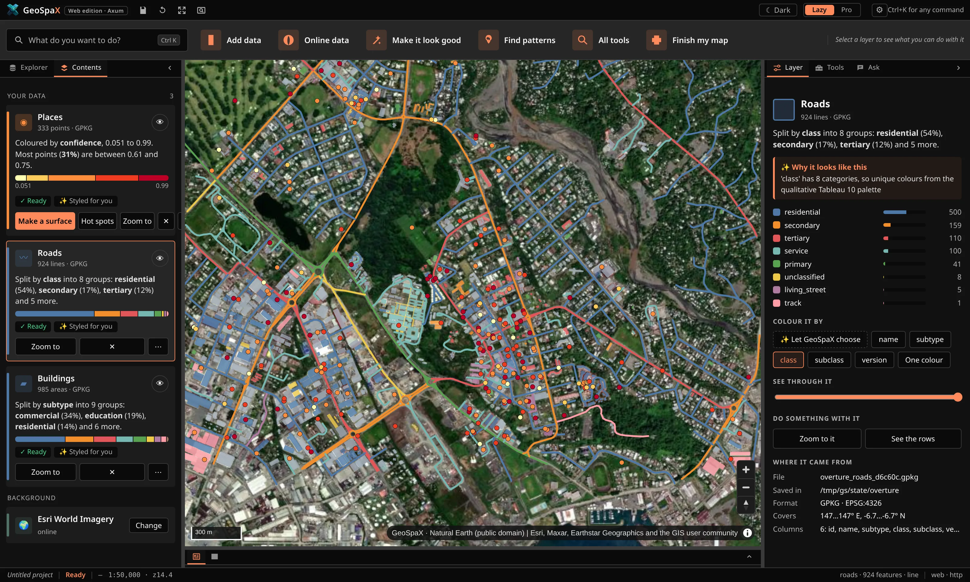
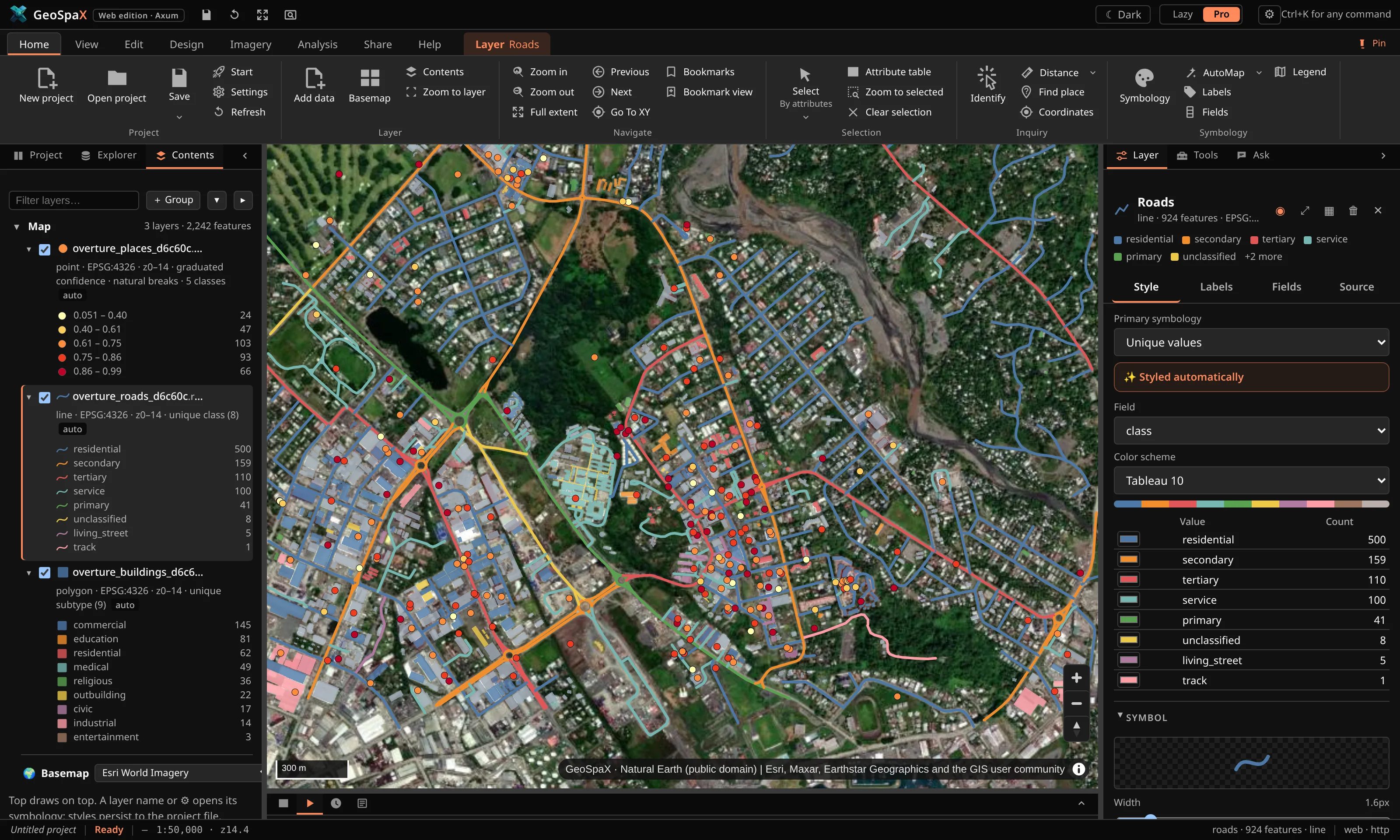
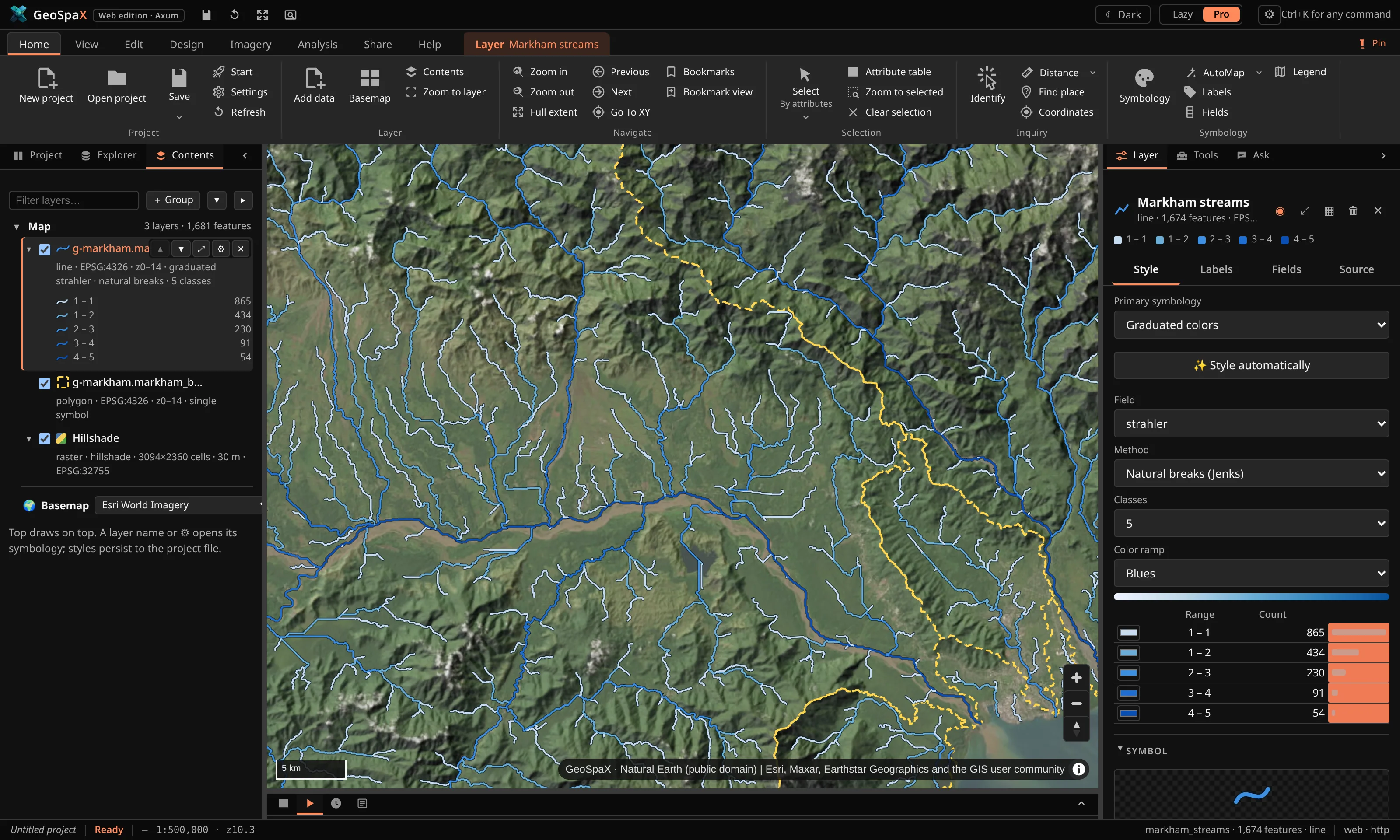
AutoMap picks the field, classes and colours, and tells you why. Full symbology for points, lines, polygons, labels and rasters when you want your own.
Drop in data, or plug in a phone, GPS, drone card or sensor logger. GeoSpaX styles it, analyses it, lays out the map and writes the report. When you want control, a full professional workbench is one click away.
Windows · Linux · Android · Web / Open source · MIT / Works offline

Open data, cut to your area, with citations
The platform
AutoMap picks the field, classes and colours, and tells you why. Full symbology for points, lines, polygons, labels and rasters when you want your own.
Vector, raster, terrain, hydrology, imagery and LiDAR in one Toolbox, plus hot spots and kriging.
Files, phones, GPS and drones, and online data clipped to the map, cited for you.
Layouts with legend, scale bar and north arrow; 150–1200 dpi PNG, vector PDF, SVG and a Word report.
Roads from a centreline, lots, dimensions and traverses. DXF to and from AutoCAD.
Every result is a re-runnable recipe, triggered by a device, a folder, a schedule or a sensor.
R and Python as recipe steps, ggplot2-style charts, an assistant and an MCP server.
Everything runs on your own computer and works offline. Nothing leaves it unless you choose to share.
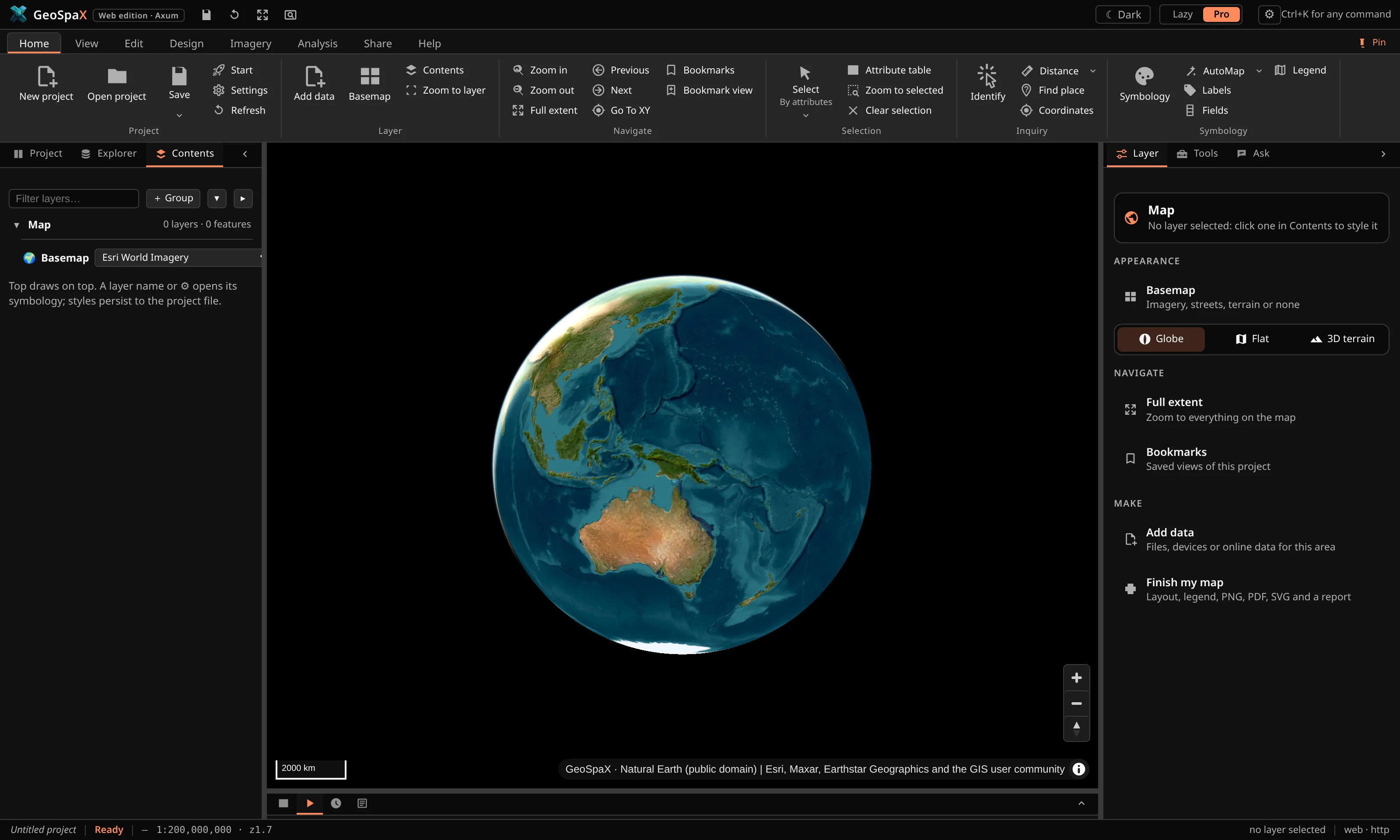
Two modes, one engine
How it works
Drop files, plug in a device, or fetch open data for the area on the map.
Colours, classes and labels chosen for what the data is, with the reason shown.
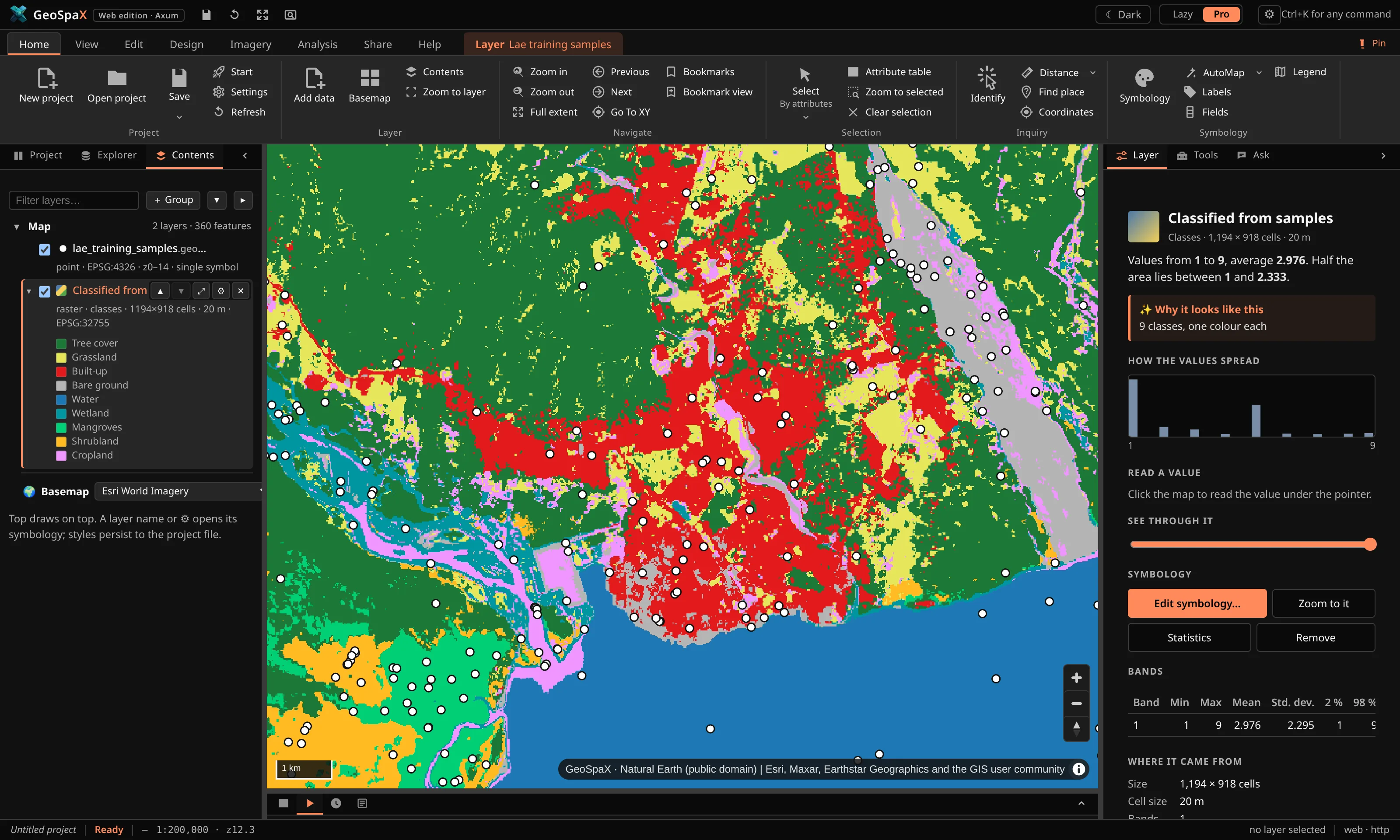
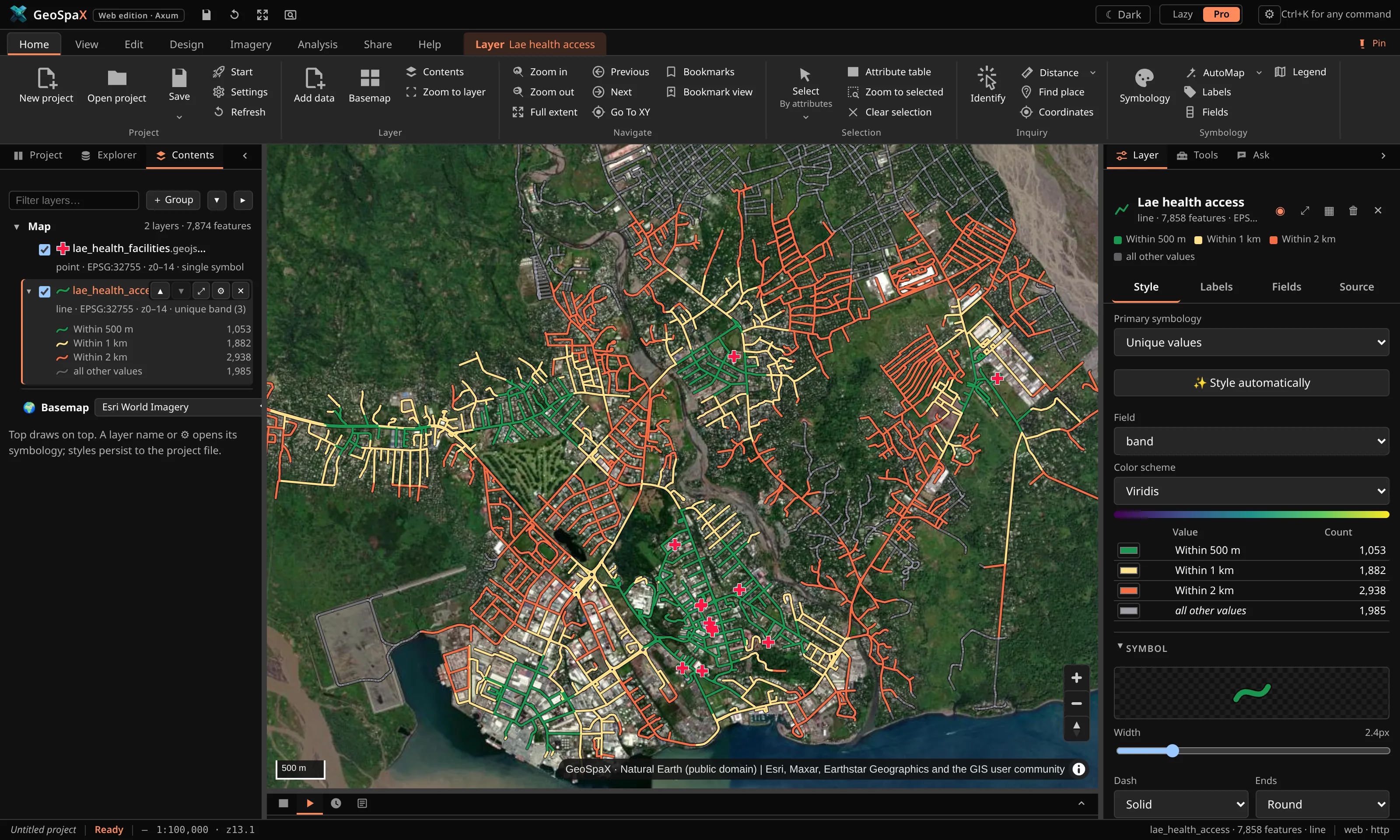
Hot spots, terrain, catchments, networks and classification in a click.
Layout, PNG, PDF, SVG and a Word report, ready to send.
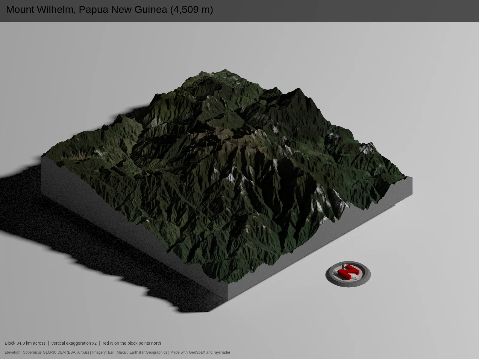
Print-quality 3D
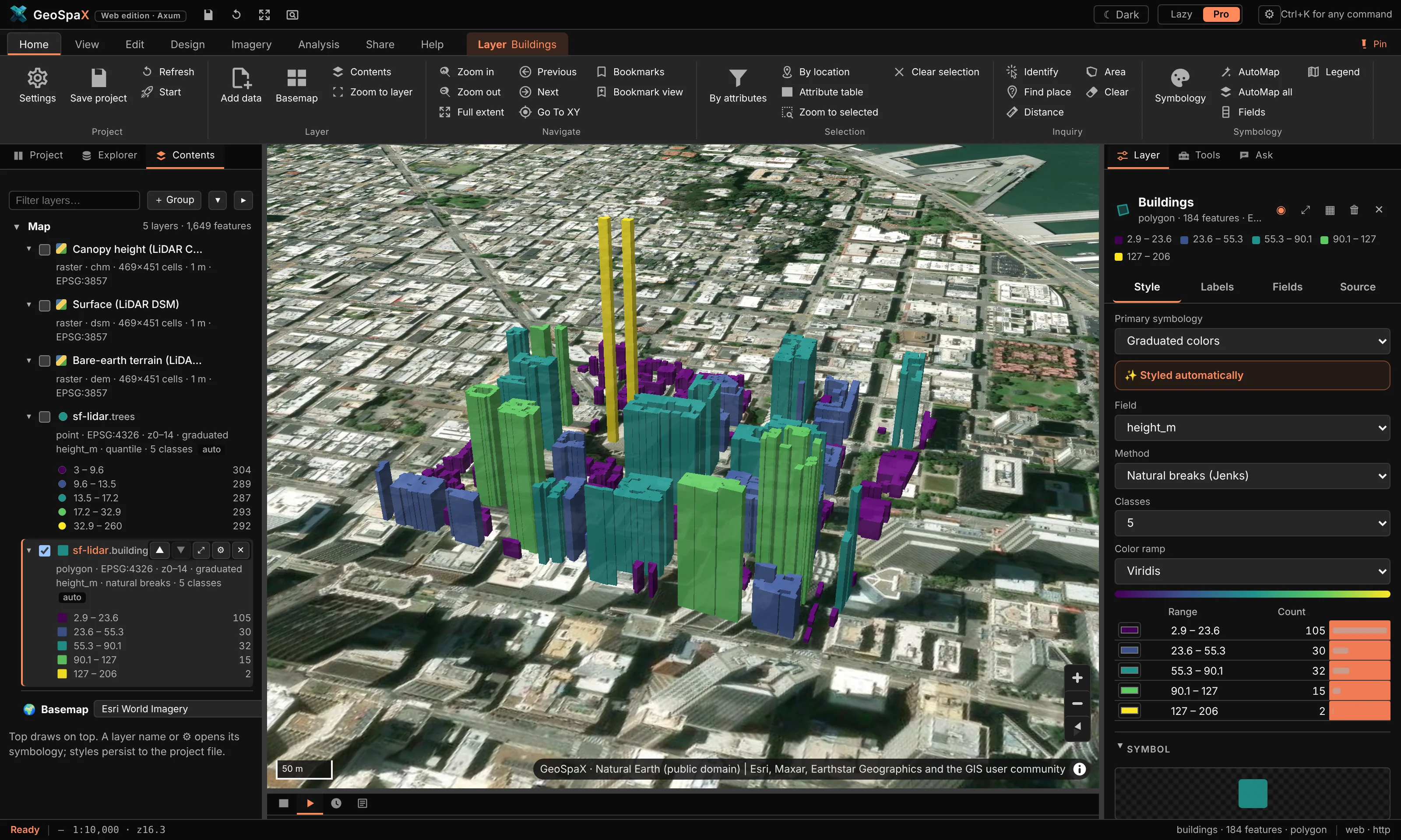
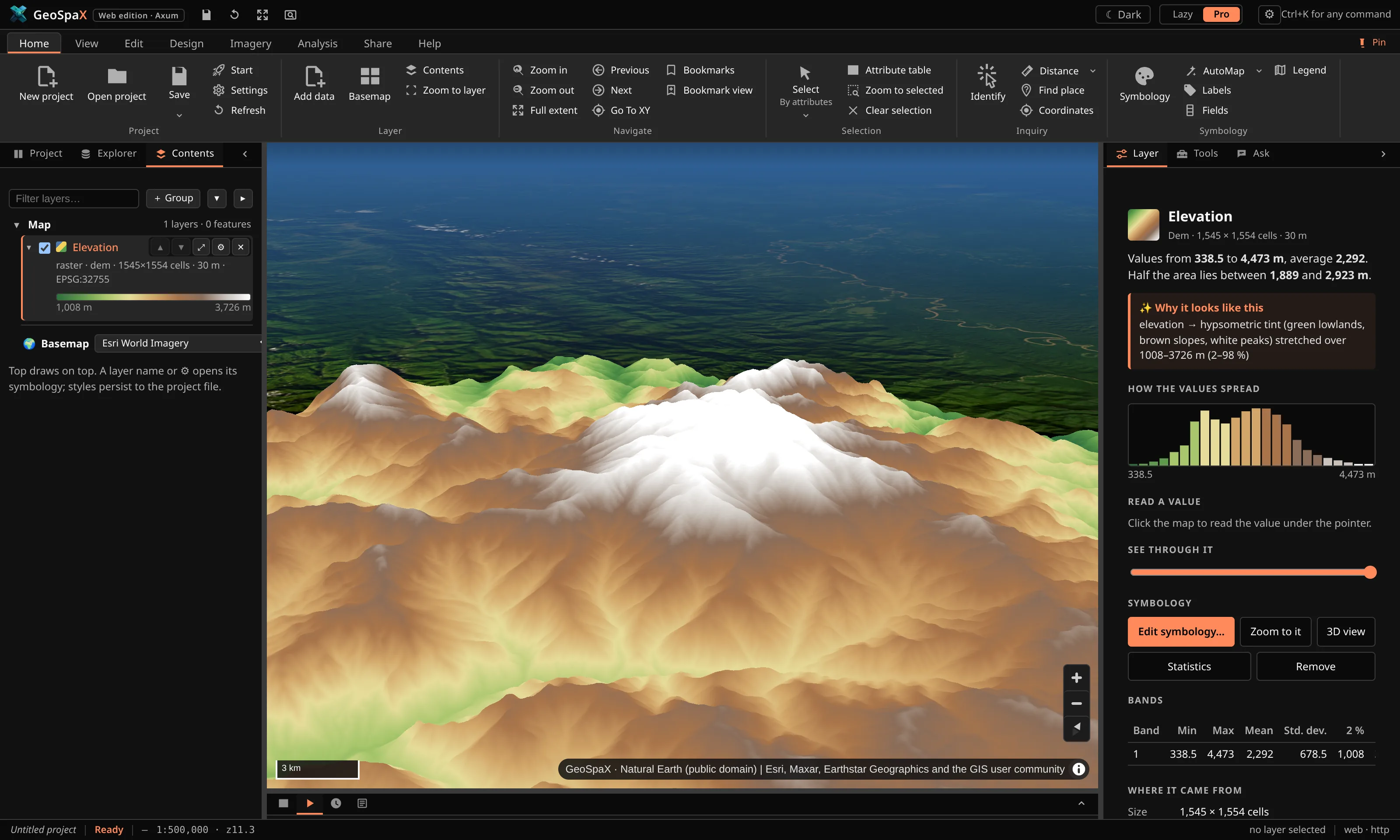
The Copernicus 30 m elevation model with satellite imagery placed pixel by pixel, ray-traced shadows and ambient occlusion, rendered in R with rayshader. One analysis, no code.
Showcase
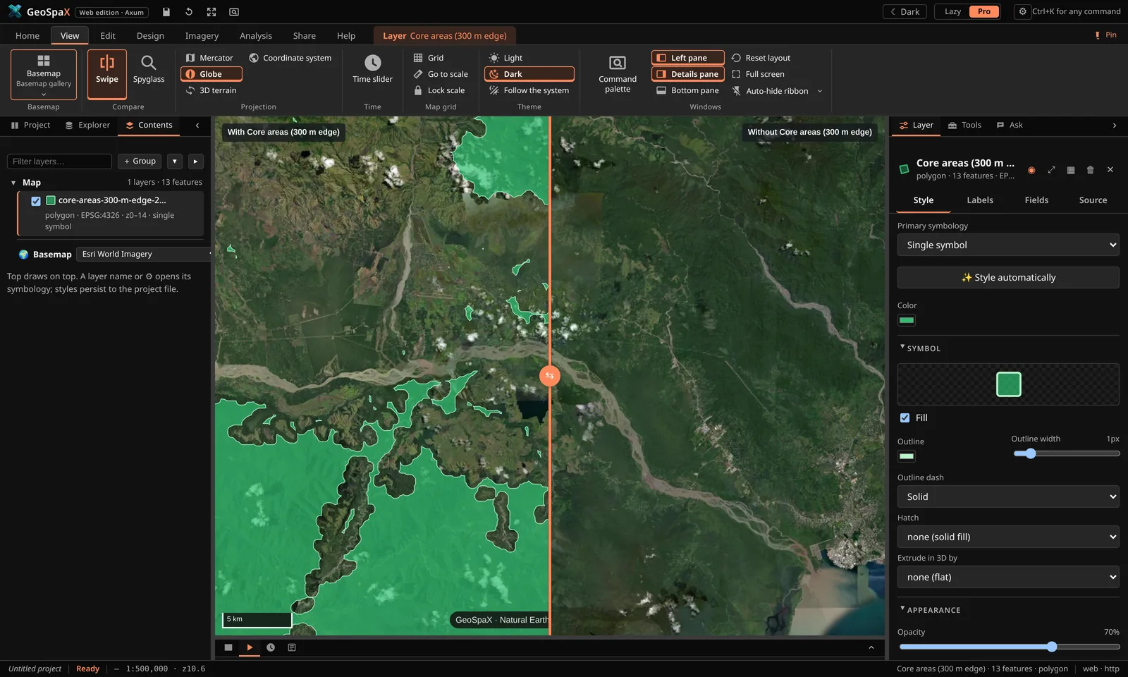
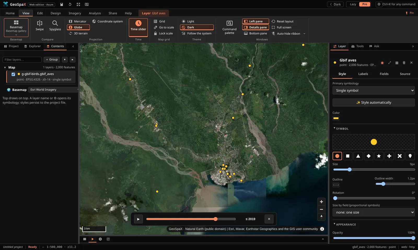
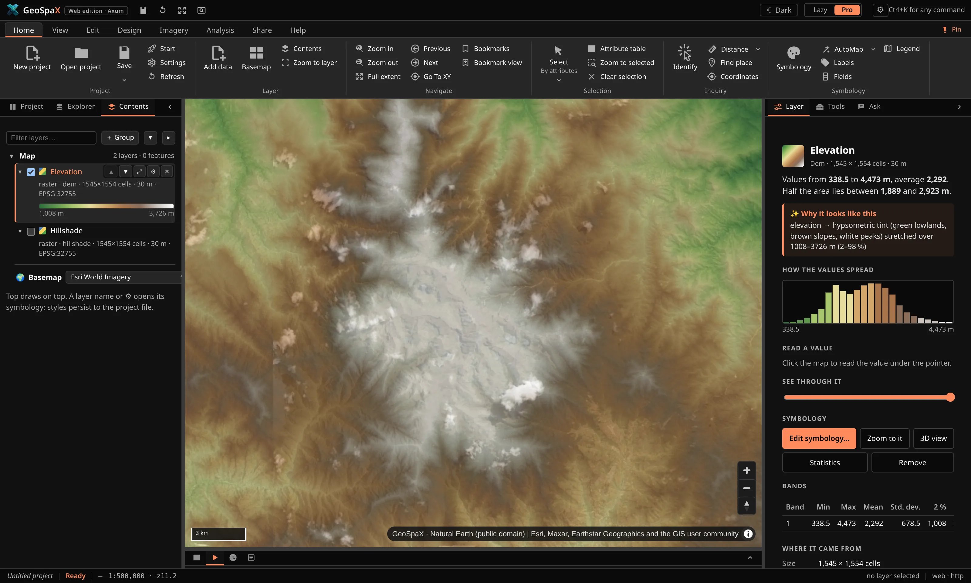
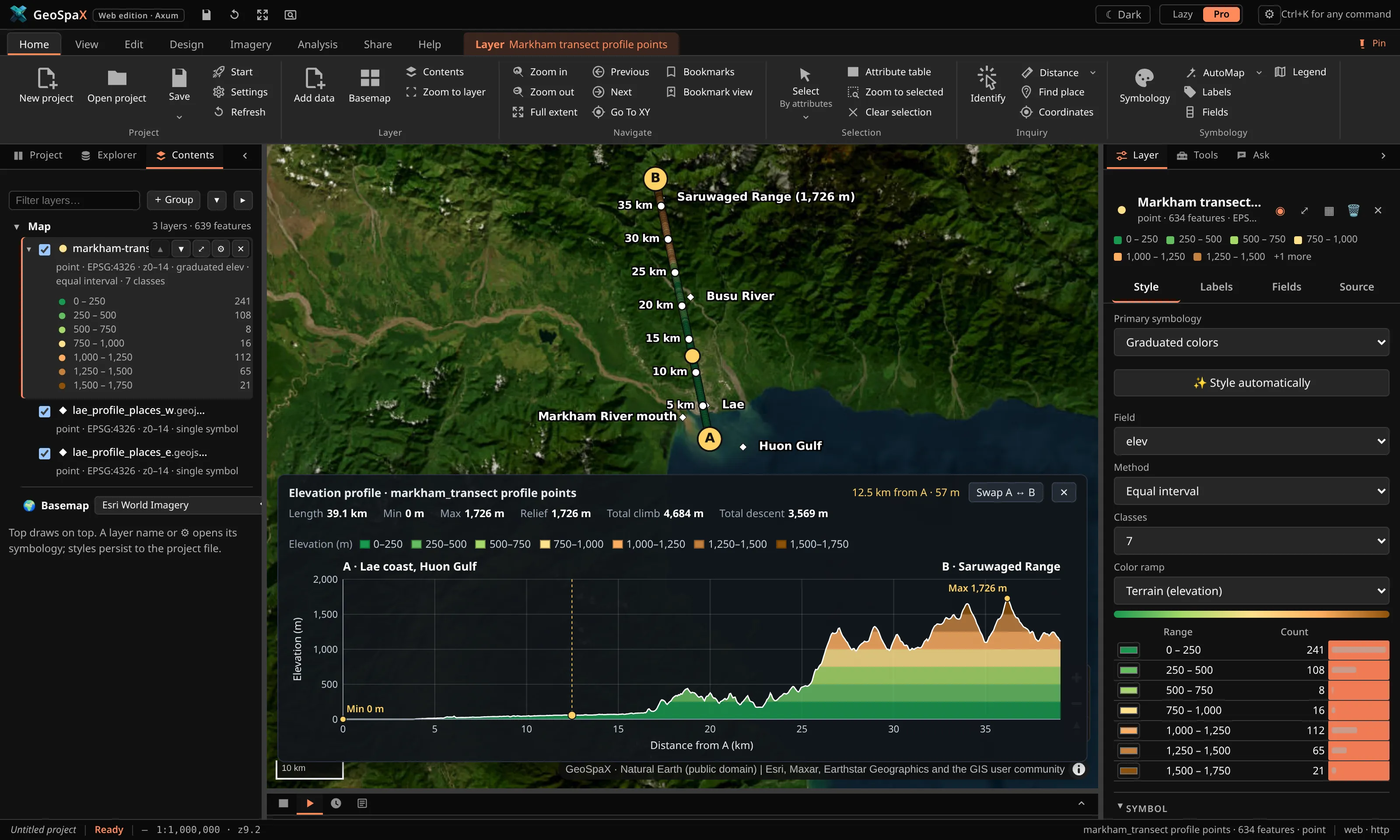
Around Lae and the Huon Gulf, Papua New Guinea, over Esri World Imagery. Click a map to enlarge it.
Industry maps
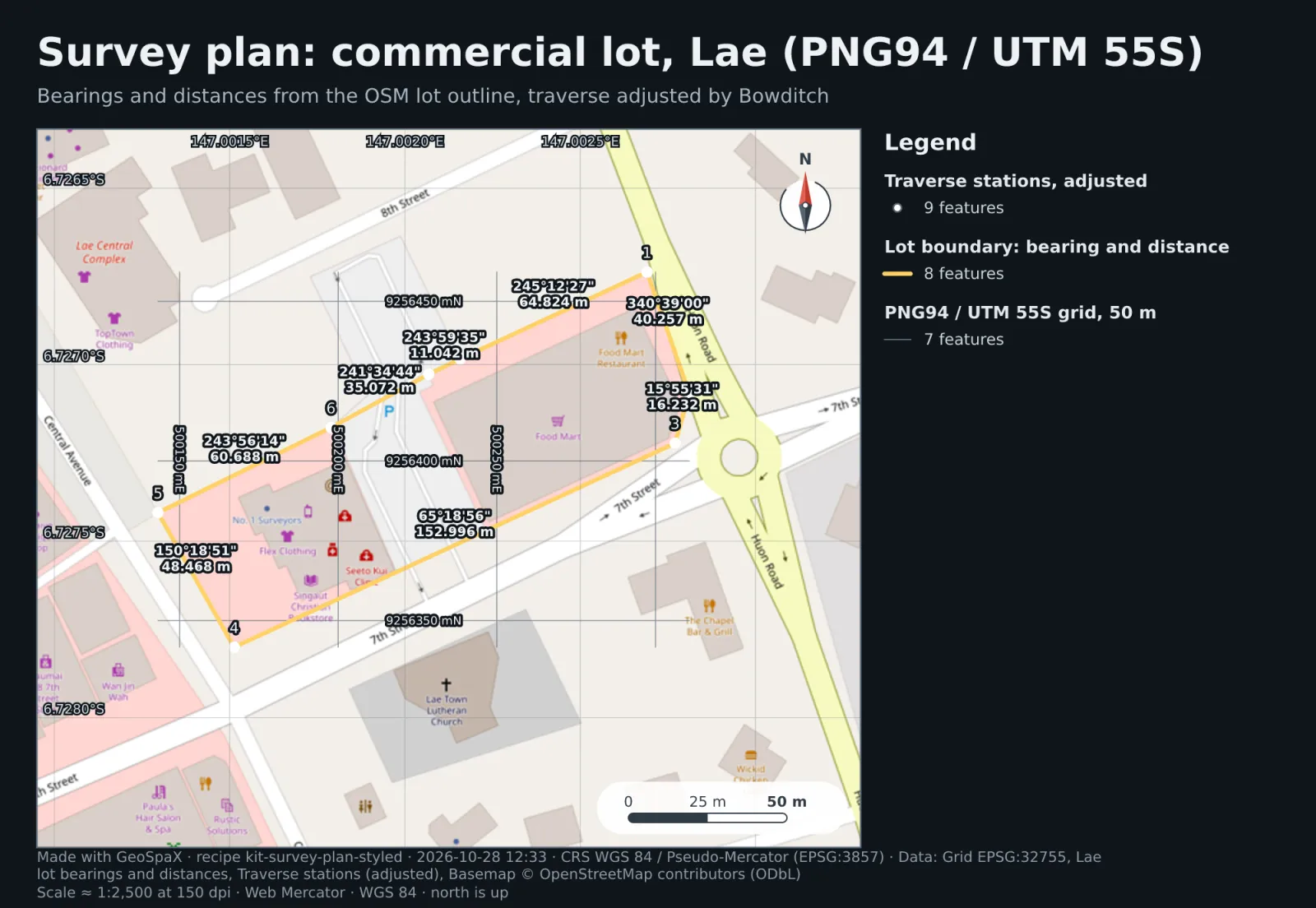
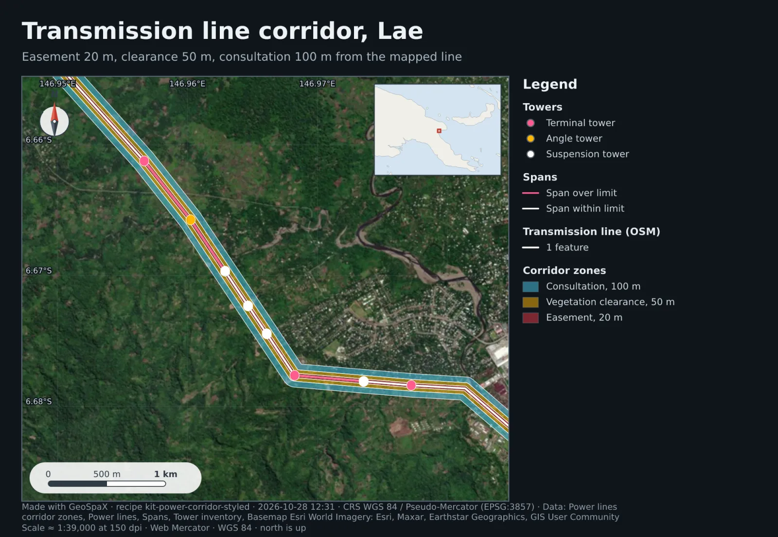
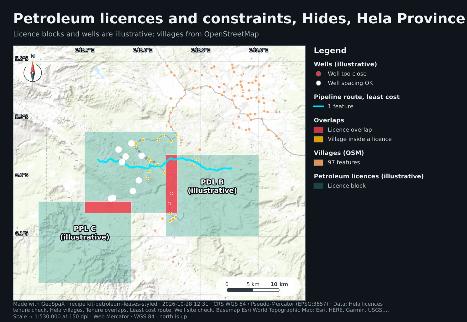
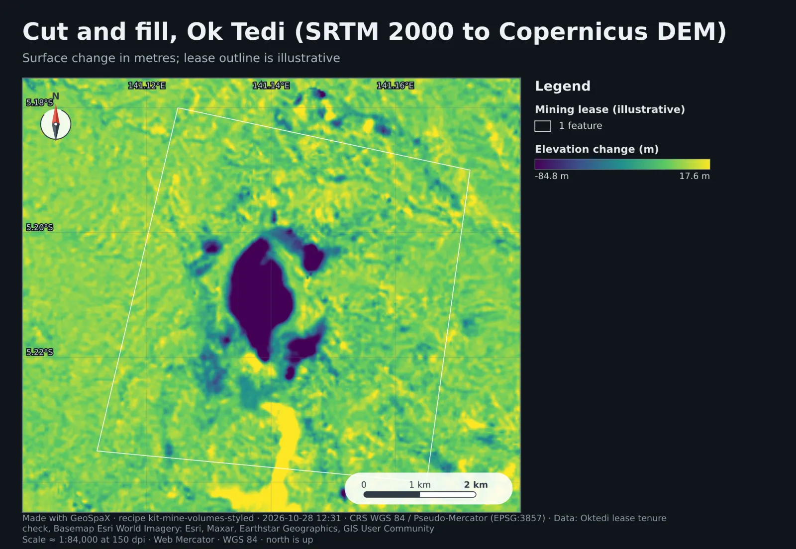
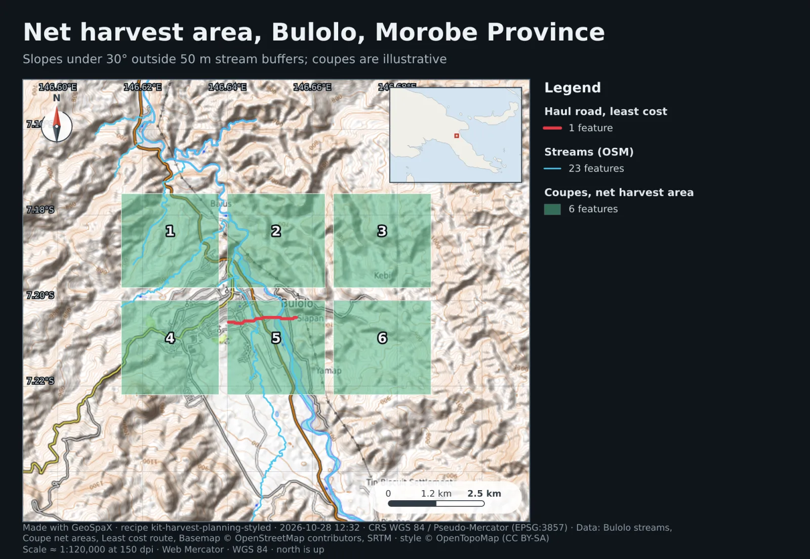
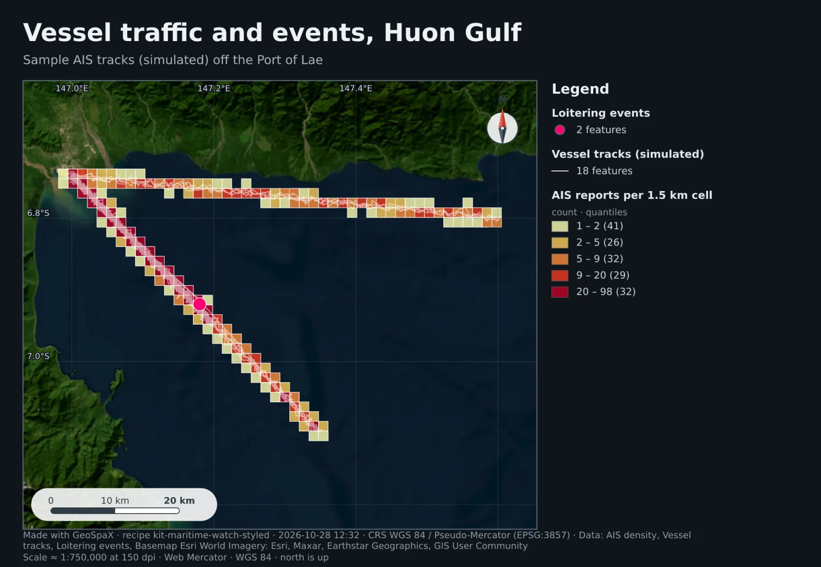
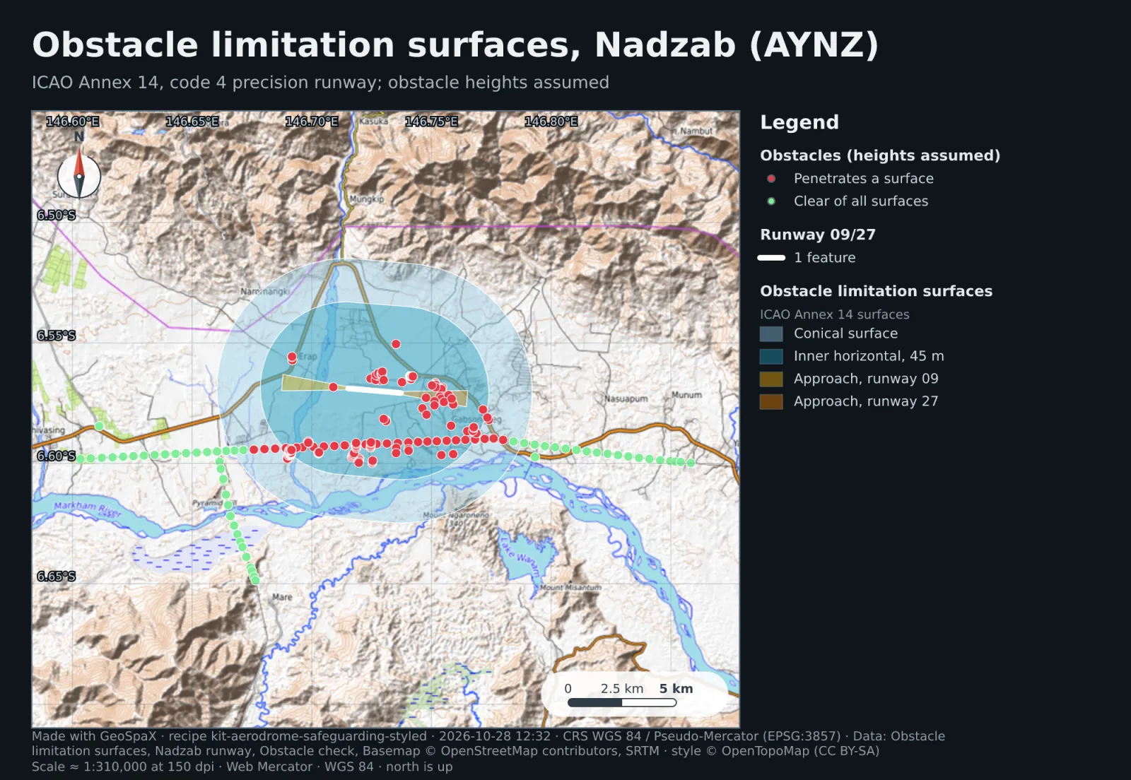
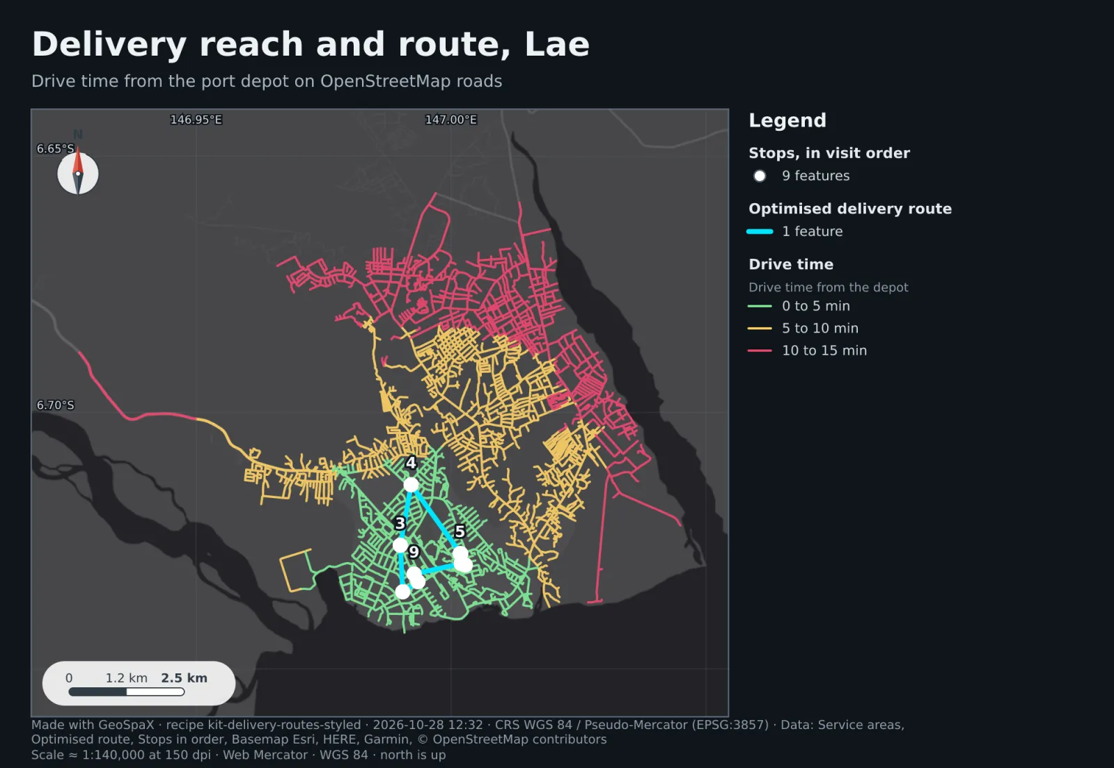
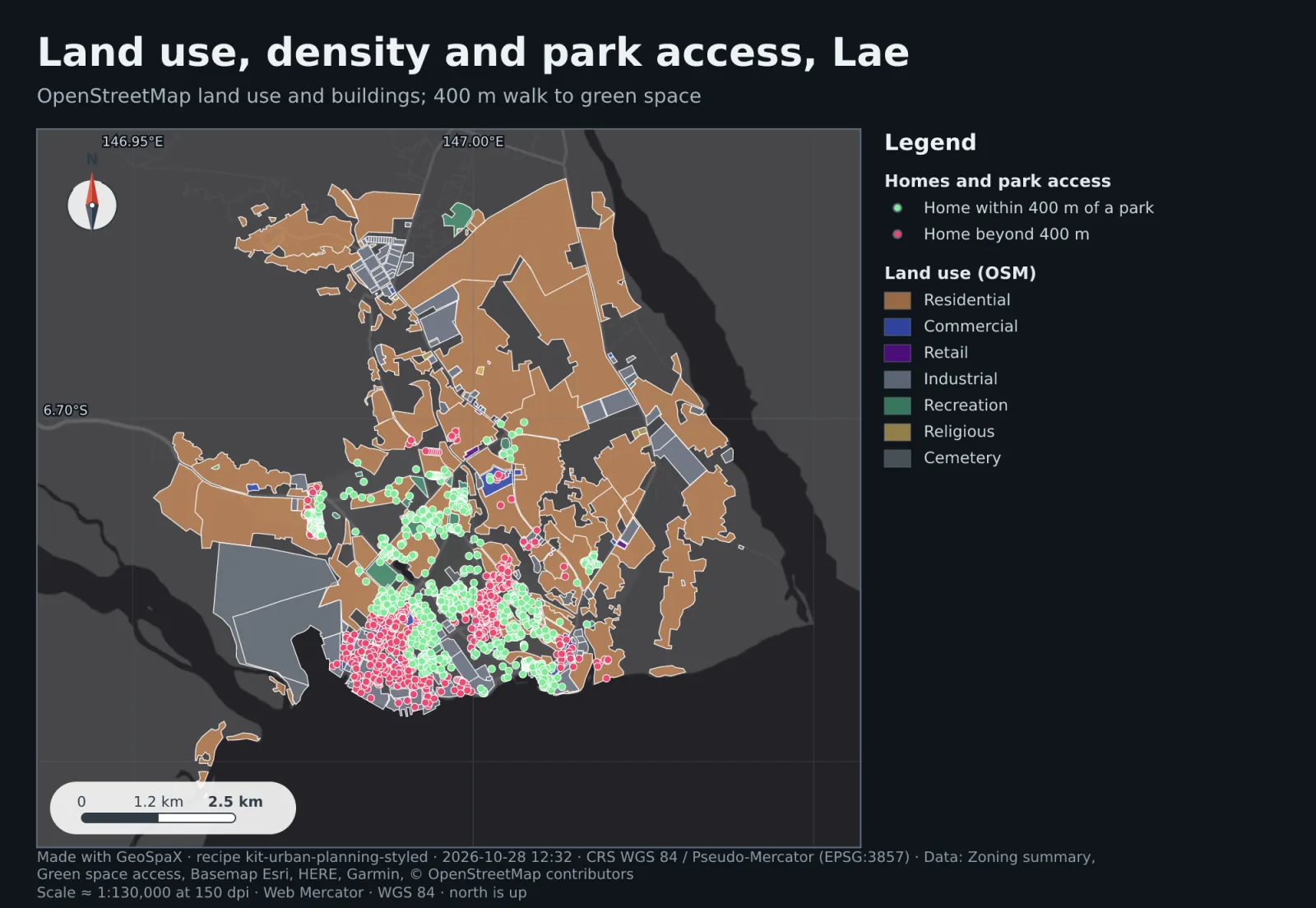
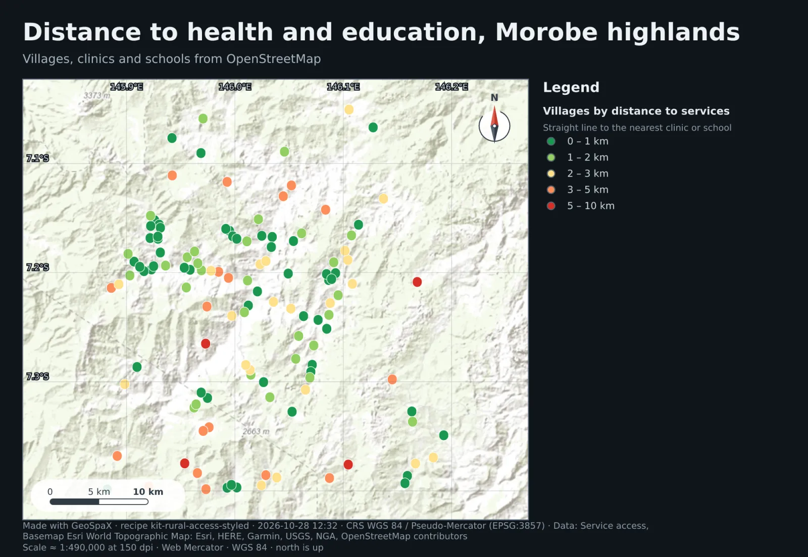
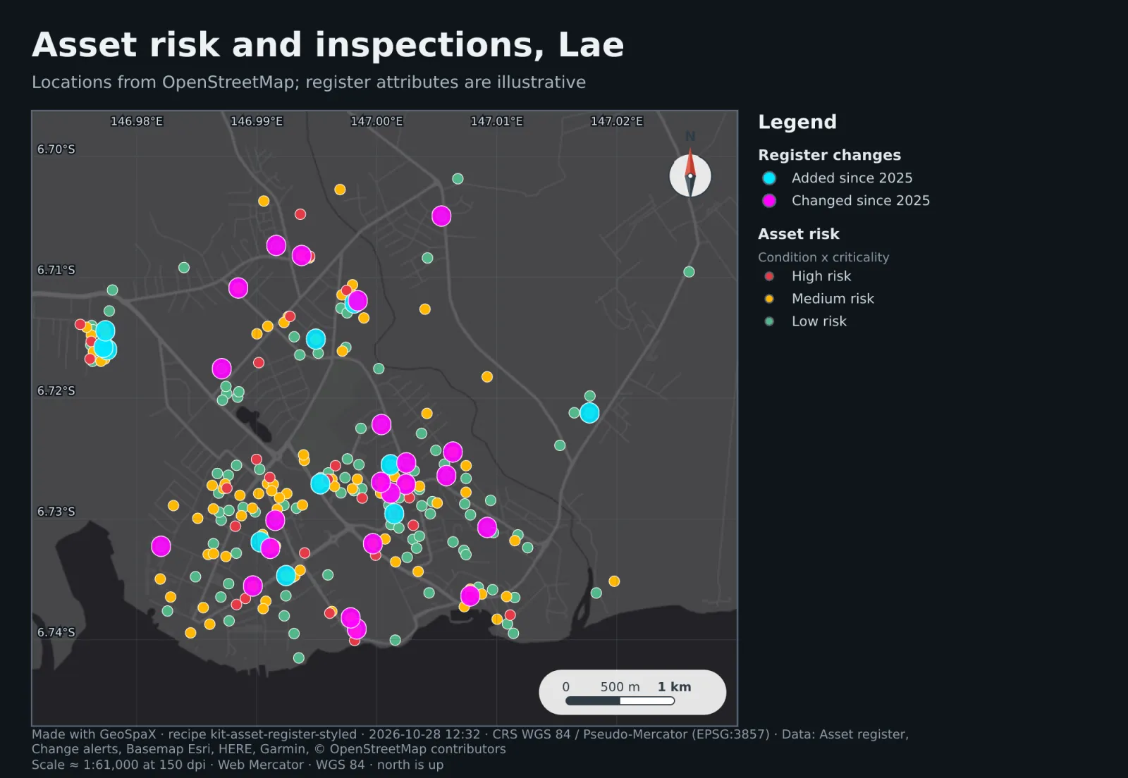
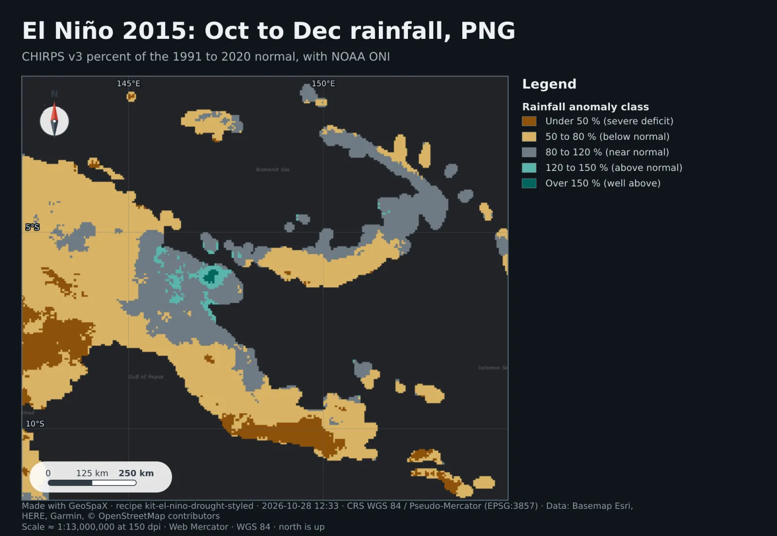
One finished map per industry kit, on real Papua New Guinea locations, with legend, scale bar, north arrow, grid and credits. Illustrative or simulated data is marked. Click a map to enlarge it.
Domain plugins
Agriculture to marine science: every plugin runs on the same engine, so a tool behaves the same everywhere. Read about the plugins →
Download
The latest release · all releases
Installs for your user, no admin rights. Updates itself.
Download installer Portable ZIPOne file for any distribution. No install, updates itself.
Download AppImagechmod +x GeoSpaX-*.AppImage
Record points, tracks and photos offline, then send them to your computer.
Download APK Android 8 or newerDemo for visitors. For full features, download the desktop app.
Open the web demodocker run -p 8080:8080 ghcr.io/jmozez/geospax